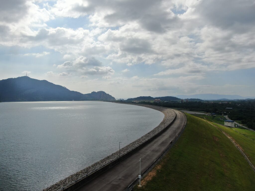
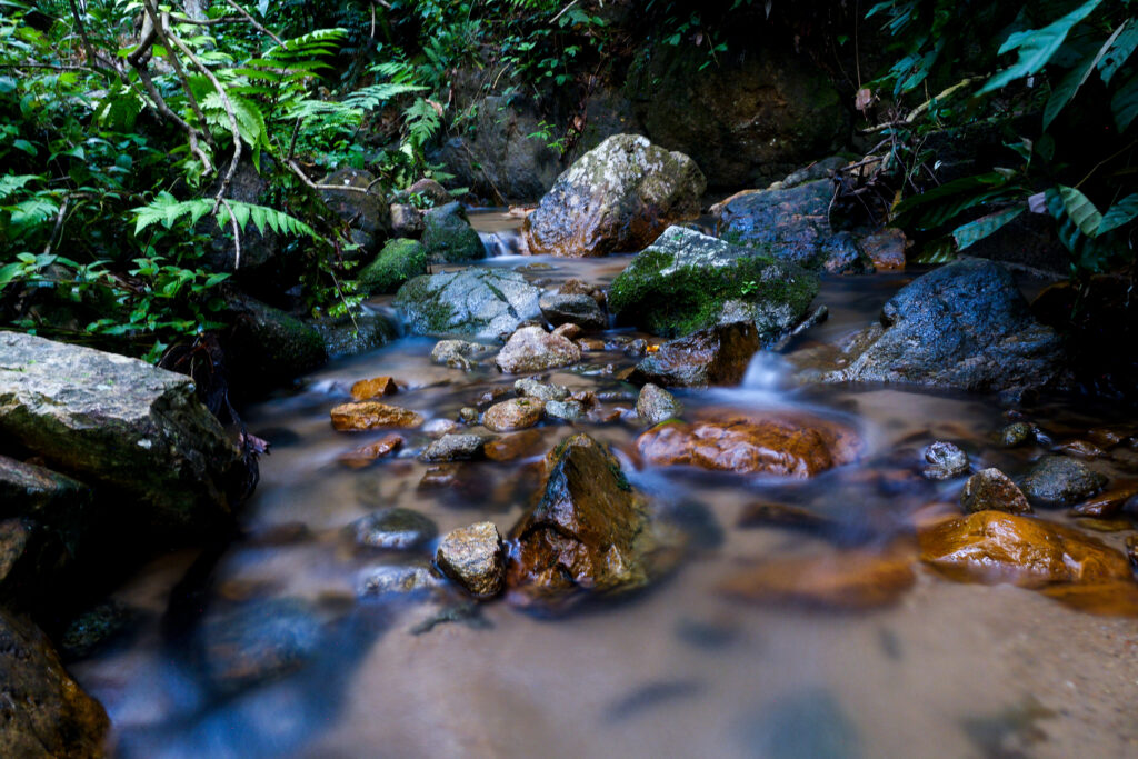
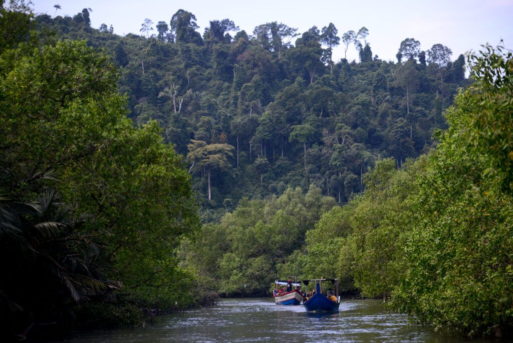
We are always amazed and humbled by the design of our dynamic Earth,how each element completes the others, creating an imperfect equilibrium.Of all the elements, we are particularly curious about water and the environments it influences.Everything about them makes us study and understand them more deeply, one day at a time.
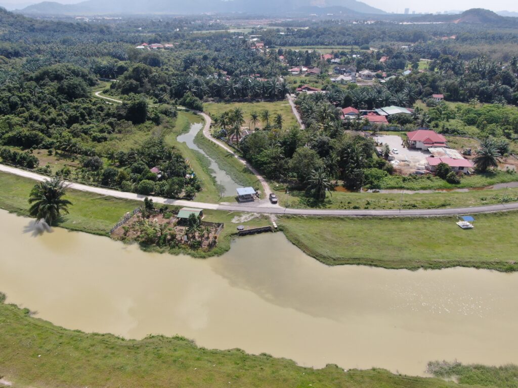
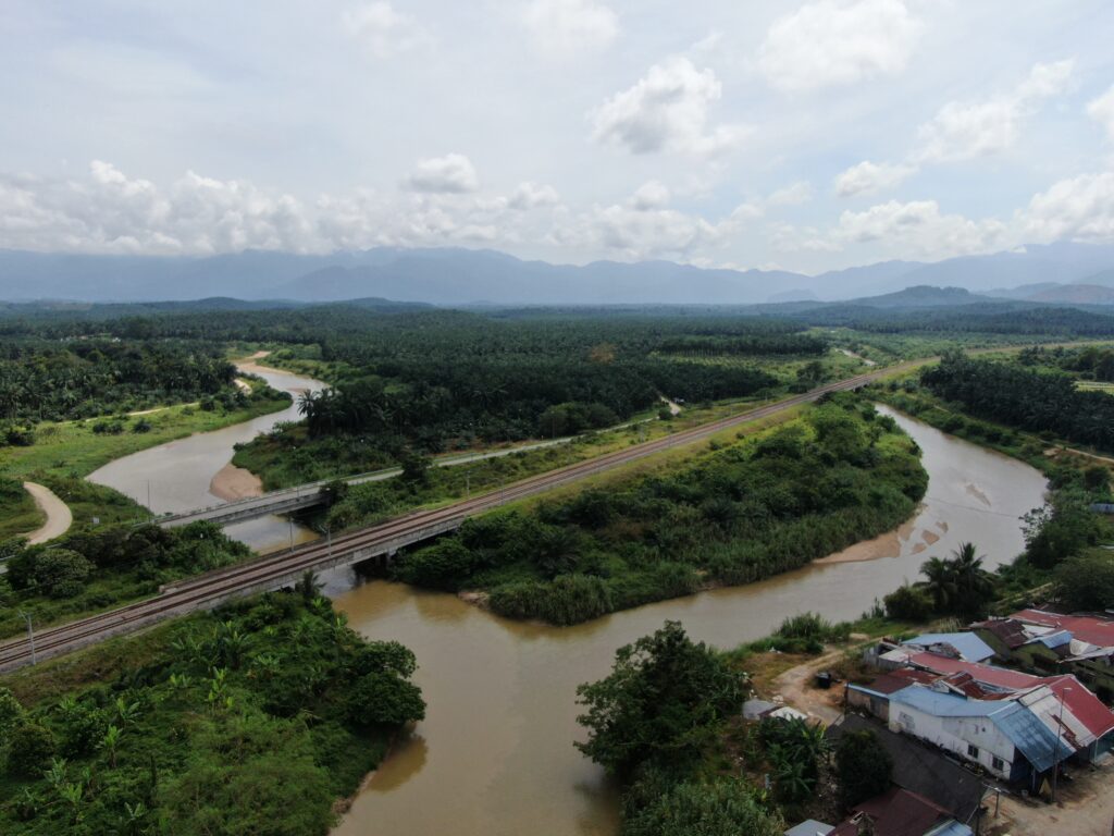
Years of experience have taught us that the knowledge we have acquired can be shared through comprehensive analysis services, from hydrological and hydraulic studies to geospatial assessments. Our expertise supports various systems, including river and drainage management, water resources, river environment, and even geospatial disciplines.
HYDROLOGICAL AND HYDRAULIC ANALYSIS
We understand the need of hydrological and hydraulic design analysis under different river conditions, which is why we specialise in utilising advanced hydrodynamic models to address various river, drainage, irrigation, and water-related challenges.
Hydrodynamic Modelling for River & Drainage Systems
Flood Mitigation Master Plan (Study and Detailed Design)
Flood Forecasting Modelling
Integrated River Basin Management (IRBM)
Flood Mapping
Flood Risk and Damage Analysis
Hydraulic Design for Pumping System
WATER RESOURCES
We focus on understanding the sources of water, wise and effective application, and planning for its future needs.
Water Resources Modelling for Planning or IRBM (Integrated River Basin Management)
Dam Break Study
Irrigation System
Integrated Lake Basin Management (ILBM)
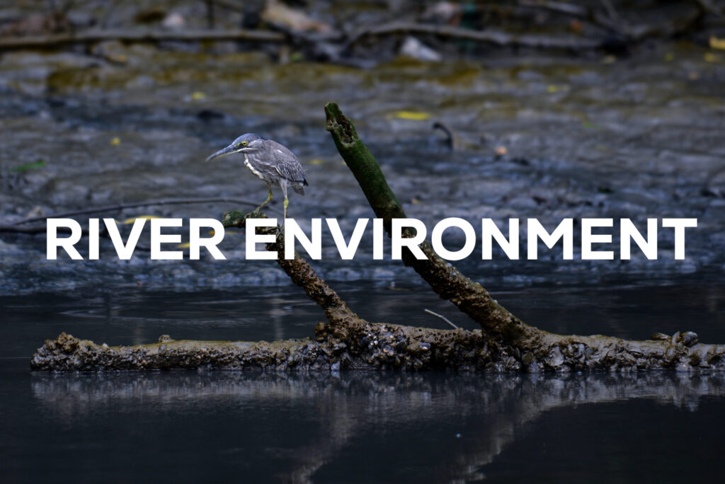
RIVER ENVIRONMENT
We are dedicated to helping manage and improve river environments by analysing what’s going on in the water and its surrounding environment.
Water Quality Hydrodynamic Modelling
Integrated River Basin Management (IRBM)
Integrated Lake Basin Management (ILBM)
Salt Water Intrusion
Sediment Transport
Erosion & Sediment Control
LDP2M2 (Land Disturbing, Pollution Prevention and Mitigation Measures)
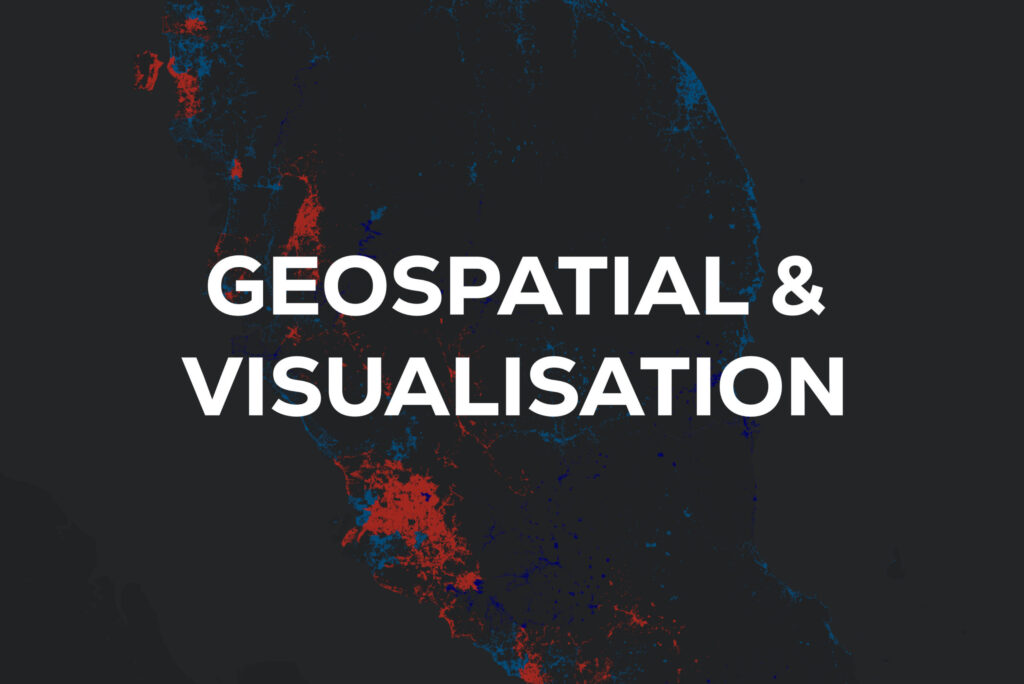
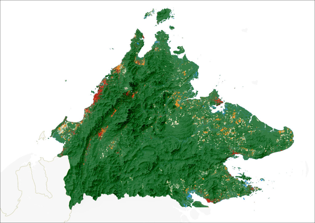
GEOSPATIAL ANALYSIS AND DATA VISUALISATION
Although function often don’t go hand in hand with aesthetic, it doesn’t mean we prioritise one over the other. We believethat clarity in visualising information is crucial for making informed decisions. We go the extra miles to ensure that practicality and aesthetics align seamlessly
Cartography
Data Collection & Processing
Data Management
Data Analysis & Visualisation
Remote Sensing Analysis (Satellite & UAV)
SOFTWARE
We are equipped with the latest technologies for hydrodynamic modelling and our modellers and engineers are regularly trained to ensure an in-depth technical knowledge will be applied while using the software